Postcards of Fort Henry – Kingston’s Bastion
By: 11415 Michael Smith (RMC 1977)
Several eVeritas issues ago, I presented a brief history of Canada’s Royal Military College (RMC) using a selection of postcards showing the College grounds and some of its more important structures. One of the postcards I didn’t use in the article shows a view of the College taken from Point Henry, which juts into Lake Ontario just east of RMC’s Point Frederick. Point Henry is much higher in elevation than Point Frederick so from this vantage point one can see all of RMC, much of the City of Kingston and a vast portion of Lake Ontario. At the summit of Point Henry reigns Canada’s most impressive 19th century fortress – Fort Henry.
Fort Henry started life as one of a string of fortifications constructed around Kingston during the War of 1812. The task of preparing Kingston’s defences was given to Major Donald Macpherson of the 10th Royal Veteran Battalion. (Interestingly, Major Macpherson was a future uncle of Canada’s first Prime Minister – John A. Macdonald.) In the spring of 1813 the Point Henry forest was cleared and a wooden redoubt was erected under the direction of Captain Benjamin Marlowe of the Royal Engineers.
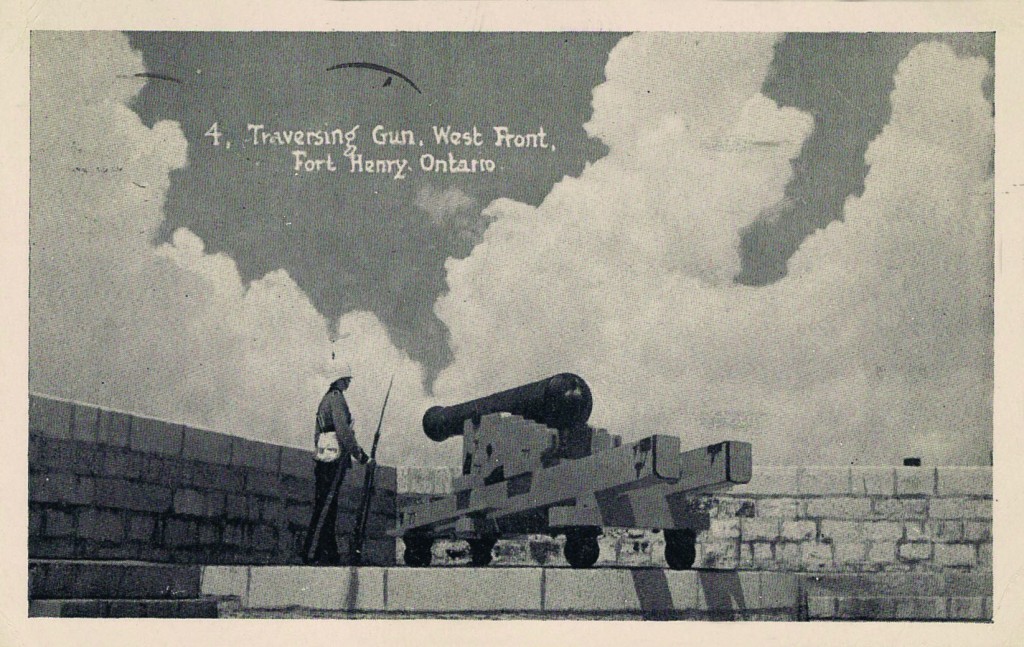
After the War of 1812, and still fearing American aggression, England’s Duke of Wellington (of Waterloo, Wellington boots and beef Wellington fame) ordered a general upgrade of Canada’s defences. From 1832 to 1837, Fort Henry’s wooden redoubt was replaced by a massive casemated fortress. Large traversing cannons (see Figure 1) were placed at key locations along the fortress walls, making an attack via Lake Ontario a very dangerous proposition for the Americans.
Figure 1. One of Fort Henry’s dangerous-looking traversing cannons.
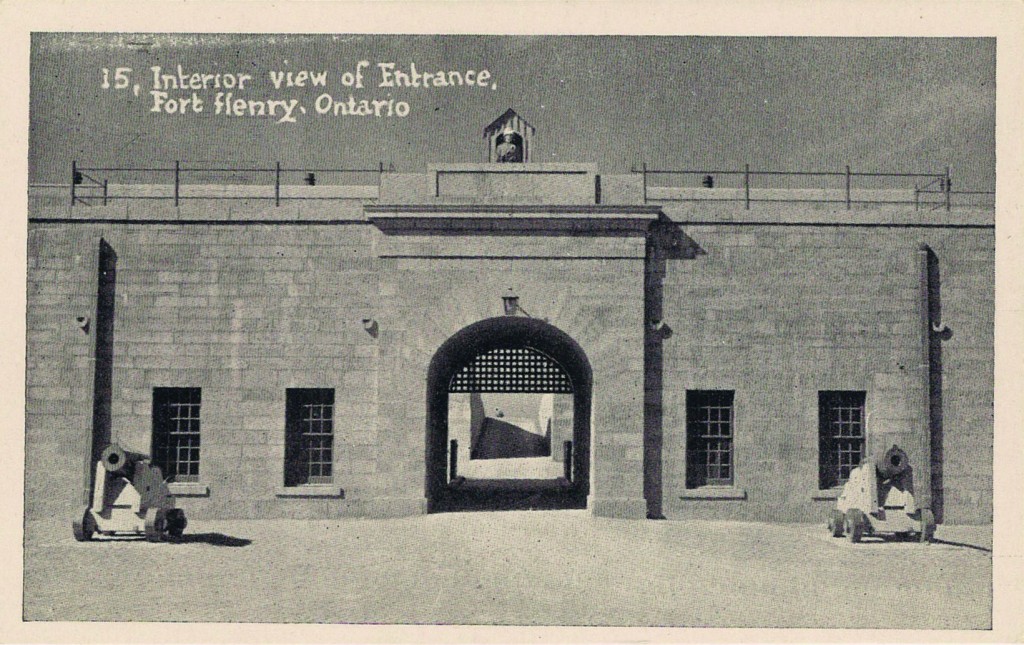
Unfortunately, I don’t own a Fort Henry postcard with a bird’s-eye-view in order to show the enormity of the structure. I do, however, have a postcard that shows the interior of the fort, looking out through the main gate (see Figure 2). On the outside of the gate a drawbridge traverses a large ditch that completely surrounds Fort Henry like a medieval moat. On the outboard side of the ditch is another fortified wall, which provides an additional layer of protection. Thus Fort Henry not only protected Kingston from America’s navy, it was also darn near impervious to a land assault.
Figure 2. Fort Henry from the inside looking out through the main gate.
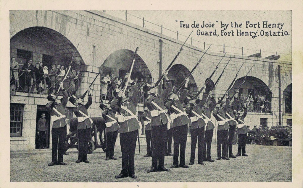
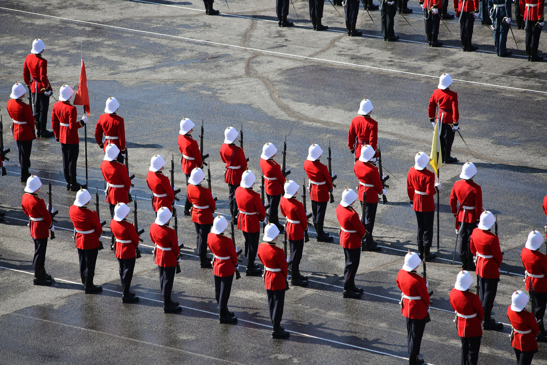
The Figure 3 postcard shows the Fort Henry Guard, a civilian organization founded in 1938 to re-enact military life at the fort, firing a “feu de joie.” A feu de joie or “fire of joy” is a drill where rifles are fired one at a time in rapid succession through the ranks. Its effect is very impressive and it is often used in the Canadian Armed Forces to celebrate Royal Visits and other special occasions. The Fort Henry Guard’s feu de joie drill is conducted regularly for tourists, to loud applause. The last time I fired a feu de joie myself was in my third year at RMC, as a salute to the fourth-year graduating class.
Figure 3. The Fort Henry Guard entertaining tourists with a “feu de joie.”
Another important part of Kingston’s military upgrade was the construction of four Martello Towers in and around the city and its waterways. These round, thick-walled and heavily-armed towers were originally a 15th-century Genovese invention. One such tower on the Island of Corsica, the Torra de Mortella, withstood a fierce British naval bombardment in the 18th century so well that it had to be captured by land forces. Remembering how effective they were against ships, Britain built dozens of these mini-fortresses throughout its vast Empire. (The Martello moniker is a corrupted version of Mortella.)
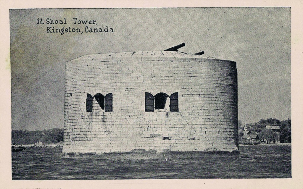
The Figure 4 postcard shows Shoal Tower, erected in Kingston harbour in 1847. Shoal Tower was strategically located to protect the mouth of the Cataraqui River, which drains into Lake Ontario at Kingston harbour and connects to the Rideau Canal System. The other three Martello Towers are:
* Murney Tower, built in 1846 on the Kingston lakefront
* Fort Frederick Tower, built between 1846 and 1847 at Point Frederick, now part of RMC
* Cathcart Tower, built in 1848 on Cedar Island, just off Point Henry.
Figure 4. Shoal Tower is situated in Kingston harbour. This postcard shows the tower before its roof was restored.
While conducting research for this article, I was pleased to learn that Fort Henry and nearby Martello Towers are now protected by the Canadian Government as a “National Historic Site.” In addition, in 2007 the Rideau Canal and Kingston’s historic fortifications were declared a “UNESCO World Heritage Site,” the only such site in Ontario. If you’re currently in vacation-planning mode, I highly recommend a trip to Kingston to see these wonderful 19th-century structures.
___________________________________
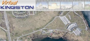
Virtual tour of Fort Henry
Click on the image to open a new window and view an aerial image of Fort Henry. You can zoom in and look at the finer details.


